Consulte también otros artículos de la serie "Cómo visualizar y animar modelos (geofísicos)":
Dependiendo del proyecto y la escala de los datos, podemos elegir diferentes opciones de visualización y, sin embargo, para cualquier escala de datos, es importante permitirnos evaluar visualmente esta escala. Por ejemplo, a nivel regional, la visualización en un globo terráqueo facilitará la comprensión tanto de la escala como de la ubicación del área de estudio. Así que nos ocuparemos de la visualización de datos en el mundo.
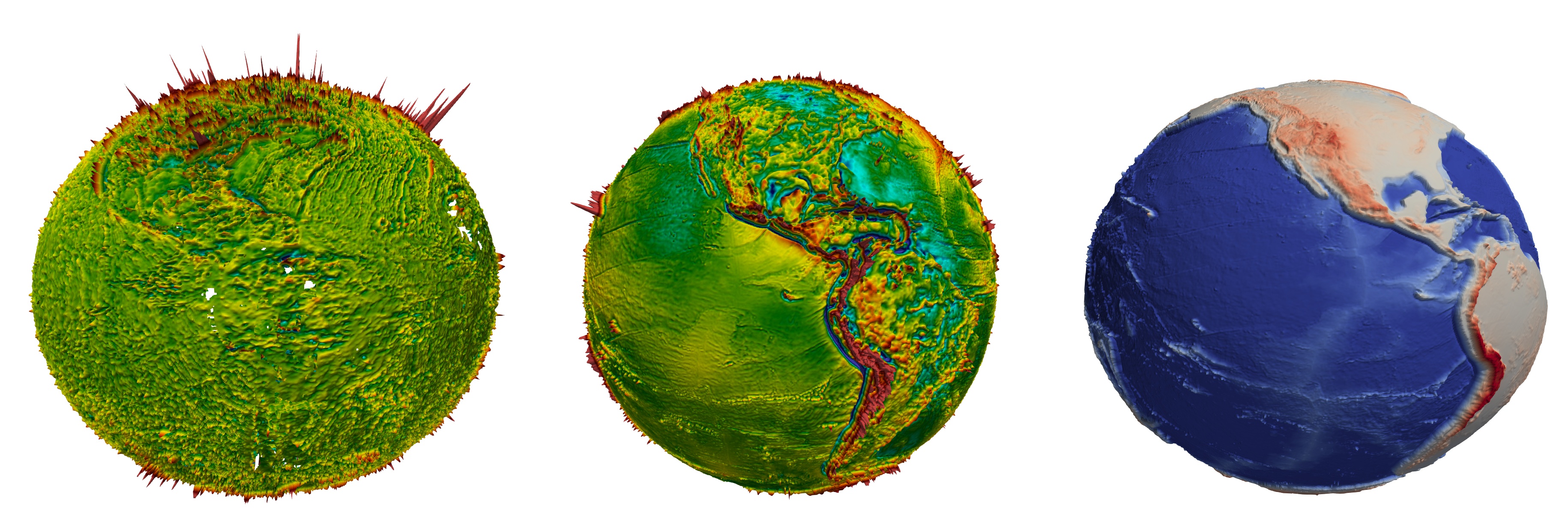
De izquierda a derecha: EMAG2 Earth Magnetic Anomaly, Sandwell and Smith Free Air Gravity Grid, GEBCO Gridded Bathymetry Data.
Formulación del problema
- , . , . — , , ( ? ? ?), ( ? ? ?). , , .
.
, (, ). () . " " — ParaView , .
( ) NetCDF. GDAL ( ):
gdal_translate -of NetCDF -r average -tr .25 0.25 EMAG2_V2.tif EMAG2_V2.15min.nc
gdal_translate -of NetCDF -r average -tr .25 0.25 grav_28.1.nc grav_28.1.15min.nc
gdal_translate -of NetCDF -r average -tr .25 0.25 GEBCO_2019.nc GEBCO_2019.15min.nc
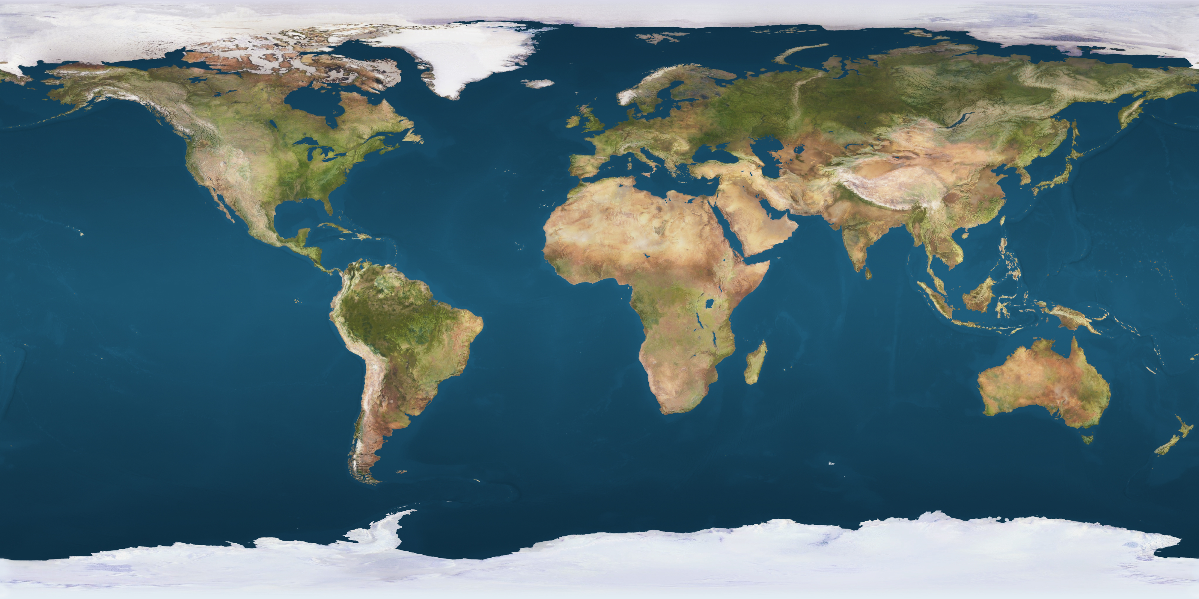
Planet texture maps web site, 8081_earthmap4k.jpg:
ParaView ImageMagick:
convert -flip -crop 50%x100% 8081_earthmap4k.jpg _converted.png
convert _converted-1.png _converted-0.png +append 8081_earthmap4k.fixed.jpg
, ParaView.
ParaView
NetCDF ParaView, "Spherical Coordinates" ( , NetCDF , , ) "Calculator"
( 1 + (elevation/6370000)*40)*(cos(coordsY/180*3.141592) * cos(coordsX/180*3.141592) * iHat + cos(coordsY/180*3.141592) * sin(coordsX/180*3.141592) * jHat + sin(coordsY/180*3.141592) * kHat)
"6370000" ( , ), "40" . , "Coordinate Results" (elevation). GEBCO 2019 Gridded Bathymetry Data :

, "TextureMaptoSphere" "Texture" 8081_earthmap4k.fixed.jpg:

( ), , :
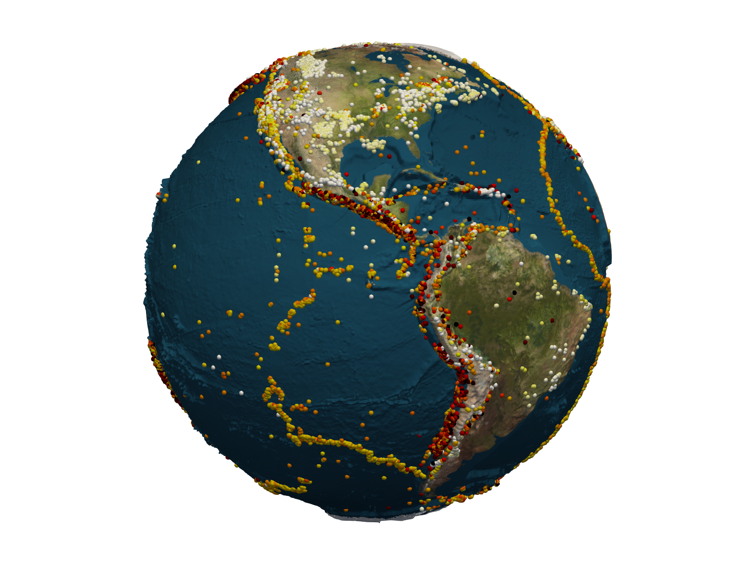
, . — , !
, :
, .
Download the global GEBCO_2019 Grid in netCDF format (11 Gbytes, 12 Gbytes uncompressed) — The GEBCO_2019 Grid is the latest global bathymetric product released by the General Bathymetric Chart of the Oceans (GEBCO) and has been developed through the Nippon Foundation-GEBCO Seabed 2030 Project.
WGM2012 Earth's Gravity Anomalies (2-arc-minute resolution) — WGM2012 is the first release of a high resolution grids and maps of the Earth's gravity anomalies (Bouguer, isostatic and surface free-air), computed at global scale in spherical geometry.
EMAG2: Earth Magnetic Anomaly Grid (2-arc-minute resolution) — Magnetic anomaly maps provide insight into the subsurface structure and composition of the Earth's crust. Anomalies trending parallel to the isochrons (lines of equal age) in the oceans reveal the temporal evolution of oceanic crust.
Planet texture maps web site
GDAL : GDAL es una biblioteca traductora para formatos de datos geoespaciales de trama y de vector que se publica bajo una Licencia de Código Abierto de estilo X / MIT por la Fundación de Código Geoespacial de Código Abierto .
ImageMagick : ImageMagick es un software gratuito que se entrega como una distribución binaria lista para ejecutarse o como código fuente que puede usar, copiar, modificar y distribuir tanto en aplicaciones abiertas como propietarias.
CÓMO: La visualización en The Globe es un artículo más técnico en inglés en LinkedIn.